IMD warns THESE states as temperatures plunge; Check La Nina forecast for winter chill News24 –
Cold Wave Alert: India is currently undergoing a weather transition. Fog has been reported in northern parts of the country and there has been a slight change in maximum and minimum temperature across several parts of north India. Northern and central areas are experiencing a gradual drop in night temperatures, and are expected to witness cold wave conditions in coming days. Meanwhile, the southern states, particularly Tamil Nadu and Kerala, are likely to experience light to moderate rainfall.
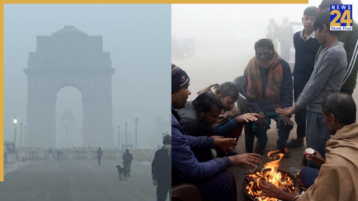
IMD issues cold wave alert for THESE states
The India Meteorological Department (IMD) has predicted light to moderate rainfall/thunderstorm over Tamil Nadu and Kerala on Monday, November 10. While southern states will receive rainfall, the IMD has forecast cold wave conditions over Madhya Pradesh, Chhattisgarh and Jharkhand on November 10-11. Night temperatures are likely to be recorded below normal by about 2-4°C over south Haryana and isolated plains of northwest India and North central Maharashtra during 3-4 days. Western Himalayan has already received snowfall and the mercury is expected to dip further in mountainous region.
IMD on La Nina
According to the IMD, neutral El Niño–Southern Oscillation (ENSO) conditions are currently prevailing over the equatorial Pacific region. Forecasts from the Monsoon Mission Climate Forecast System (MMCFS), along with other climate models, indicate an increased likelihood of La Niña conditions developing during the post-monsoon season. On September 11, the US Climate Prediction Centre issued a La Niña Watch. It said that there is a 71% chance of La Niña forming between October and December 2025.
What is La Niña? How is it related to India?
La Niña is the cooler phase of the El Niño-Southern Oscillation (ENSO). It occurs when the surface of the Pacific Ocean near the equator becomes colder than usual. Even though it happens far away, it affects the weather all over the world, changing rainfall in the Americas and causing cold waves in Asia. In India, La Niña winters usually bring more frost, stronger cold waves, and extra snowfall in the northern regions.
La Nina is associated with various climate shifts globally, which includes heightened hurricane activity in the Atlantic, droughts in parts of South America, wetter conditions in Southeast Asia and Australia. The phenomenon begins during April and June, strengthens between October and February, and can last from nine months to two years.
When can we expect a severe winter? Check forecast
The phenomenon is expected to start around late November to early December, when night temperatures may fall. Seeing the past record, from mid-December to mid-February, North India could experience the peak of winter with the highest chances of cold waves.