Delhi-NCR Rain Alert as Air Quality Turns Poor Again
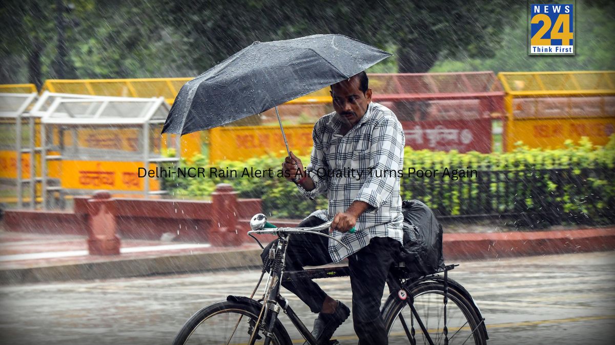
Residents of Delhi-NCR should prepare for a wet and windy Tuesday as the India Meteorological Department (IMD) has issued a yellow alert for rain and thunderstorms across the region. The warning comes at a time when air quality, which briefly showed signs of improvement, has slipped back into the ‘poor’ category.
As of 7.30 am on Tuesday, Delhi’s Air Quality Index (AQI) stood at 281, signalling a renewed rise in pollution levels after a short spell of cleaner air.
Western Disturbance to Drive Weather Changes
According to the IMD’s latest forecast, an intense Western Disturbance is influencing weather patterns across northwest India. This system is expected to trigger light to moderate rain and snowfall across large parts of the western Himalayan region until Wednesday.
On Tuesday, the weather bureau has also warned of isolated spells of heavy rain or snowfall, along with the possibility of hailstorms in some areas. These conditions are likely to spill over into the plains, affecting Delhi-NCR.
Strong Winds, Thunderstorms Likely in Delhi-NCR
The IMD has cautioned residents about thunderstorms accompanied by lightning and hail in
Delhi-NCR. Wind speeds may reach 40–50 kmph, with gusts touching 60 kmph, adding to the unsettled conditions through the day.
Could these gusty winds bring temporary relief from pollution, or will changing weather worsen air quality further? For now, authorities advise caution.
Chilly Republic Day Across North India
On Monday, Republic Day celebrations across north India unfolded under cold and crisp conditions. Minimum temperatures dropped sharply in several regions, reinforcing the winter chill.
In Delhi, the day began with clear skies and noticeably colder weather. Safdarjung, the city’s base weather station, recorded a minimum temperature of 4.2 degrees Celsius, over two degrees lower than the previous day. Ayanagar emerged as the coldest location in the capital, with the mercury dipping to 3.6 degrees Celsius.
Warmer Daytime Temperatures Despite Cold Mornings
Despite the cold start, Delhi experienced relatively warmer daytime conditions. The maximum temperature touched 23.2 degrees Celsius, which stood 1.1 degrees above normal and nearly five degrees higher than the previous day.
No rainfall was recorded at any of the city’s weather stations on Monday, as stable and clear conditions prevailed throughout the day.
Air Quality Remains a Concern
Even as temperatures fluctuated, pollution continued to trouble the capital. On Monday, the AQI stood at 241, firmly in the ‘poor’ category, highlighting ongoing concerns for public health.
Himachal Pradesh Set for Rain and Snowfall
Meanwhile, the IMD has forecast light to moderate rain and snowfall across most parts of Himachal Pradesh over the coming days. Isolated spells of heavy rain and snow are likely on January 27, especially in the middle and high hill regions.
The Meteorological Centre in Shimla reported very light snowfall at isolated locations over the past 24 hours. Minimum temperatures across the state largely remained normal to near normal.
Kukumseri in Lahaul and Spiti recorded the lowest minimum temperature at minus 10.2 degrees Celsius, while Paonta Sahib saw the highest maximum temperature at 22 degrees Celsius on Saturday.
More Weather Systems Lined Up
The IMD attributed the shifting weather to an active Western Disturbance affecting northwest India, along with an induced cyclonic circulation over Haryana and neighbouring areas. Another fresh Western Disturbance is expected to impact the region from the night of January 30.
Rain and snowfall are likely to intensify across Himachal Pradesh on January 27, with most parts of the state receiving precipitation and isolated heavy spells. Dry weather may return briefly on January 29, before intermittent light rain or snow resumes between January 30 and February 1.
As winter continues to tighten its grip, changing weather patterns are set to keep residents
across north India on alert.