Cyclone Ditwah nears Tamil Nadu, Andhra Pradesh today; IMD predicts heavy rainfall, red alert for THESE 4 districts News24 –
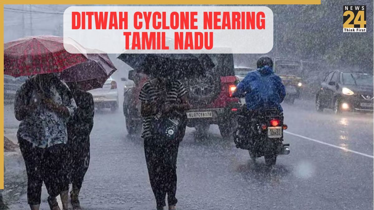
Chennai rains: Cyclonic storm Ditwah, which grew out of a deep depression near the Sri Lanka coast, will be heading toward north Tamil Nadu, Puducherry, and south Andhra Pradesh today. According to the India Meteorological Department, Ditwah is treated as a cyclonic storm, with no forecast upgrade to a severe cyclone for now.
IMD update on Ditwah cyclone
As per IMD update, the Winds near the centre of Cyclone Ditwah may reach 60–80 kmph, with occasional gusts up to 90 kmph, while the outer areas are expected to experience winds of 35–45 kmph, gusting up to 55 kmph. Similar wind conditions are likely over parts of the Arabian Sea near Kerala, Lakshadweep, and the Maldives. Fishermen have been advised to avoid large areas of the Bay of Bengal for the next five days due to the dangerous conditions.
Read the IMD update here
(A) Cyclonic Storm Ditwah [Pronunciation: Ditwah] over coastal Sri Lanka & adjoining southwest Bay of Bengal
The Cyclonic Storm Ditwah [Pronunciation: Ditwah] over coastal Sri Lanka and adjoining southwest Bay of Bengal moved northwestwards with the speed of 8 kmph during past 6…
— India Meteorological Department (@Indiametdept) November 27, 2025
When will Ditwah Cyclone reach TN, Andhra?
According to the IMD, Ditwah cyclone is very likely to move north-northwestwards across Sri Lanka coast & adjoining southwest Bay of Bengal and reach over southwest Bay of Bengal near North Tamil Nadu, Puducherry and adjoining south Andhra Pradesh coasts by early morning of 30th November.
Red alert issued for THESE 4 districts
Tamil Nadu has issued a red alert for Thanjavur, Tiruvarur, Nagapattinam and Mayiladuthurai, signalling the possibility of more than 20 cm of rain in the next 24 hours. An orange alert is in place for five surrounding districts, including Chennai, Tiruvallur, Kancheepuram, Ranipet, Chengalpattu, Ramanathapuram, Sivaganga, Trichy, Ariyalur, Mayiladuthurai districts and Karaikal areas.
Tamil Nadu Chief Minister MK Stalin met the state’s disaster management authority to assess preparedness and review special measures. Following the warning for November 29 and 30, Stalin has directed all departments to coordinate relief work.